

3D Scanning & Digital Twin Capture for Qatar’s Stadiums & Infrastructure
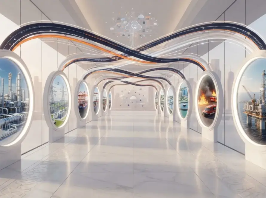
Qatar’s infrastructure includes state‑of‑the‑art stadiums, extensive road networks and modern utilities. Maintaining and upgrading these assets requires accurate, up‑to‑date models. 3D scanning captures the geometry and condition of facilities, feeding digital twins that support planning, operations and maintenance.
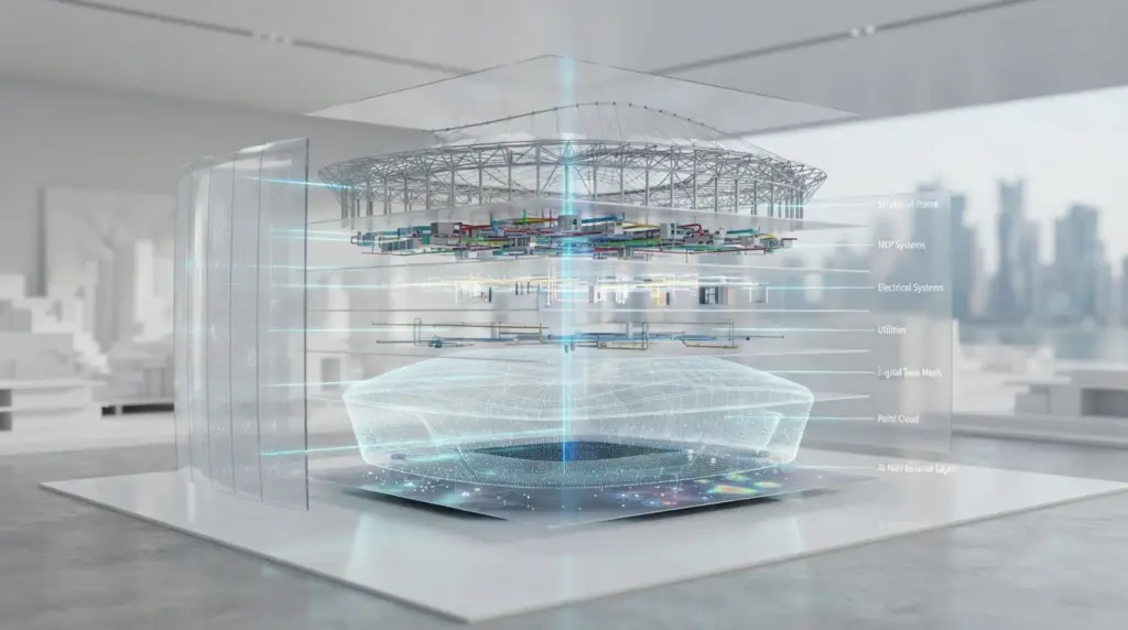
Metas uses a combination of LiDAR, photogrammetry and drone‑based scanning to capture stadiums, airports and infrastructure. The data is processed into high‑resolution meshes and integrated with digital twin platforms. Facility managers can then visualize assets, measure dimensions, detect wear and schedule maintenance without site visits. For event planners, digital twins of stadiums allow simulation of crowd flows, seating configurations and emergency scenarios, ensuring smooth operations during sporting events or concerts.
Beyond stadiums, scanning supports infrastructure such as bridges, highways and metro stations. Engineers can simulate traffic patterns, assess structural health and plan upgrades. In Doha’s metro network, for instance, digital twins help coordinate maintenance schedules and minimize disruptions.
The workflow starts with a site survey and scanning plan. Safety protocols are established, and scanning is conducted during off‑peak hours. Data processing includes cleaning, alignment and texturing, followed by conversion into formats compatible with BIM and simulation software. Metas delivers both raw point clouds and ready‑to‑use models, along with an interactive viewer or integration into the client’s digital twin.
FAQs
How frequently should stadiums be scanned?
Major scans may occur annually or after significant events; smaller inspections can be scheduled more often.
Can scanning detect structural issues?
While scanning provides geometric data, structural analysis typically requires additional engineering assessments. However, it can identify anomalies that warrant further investigation.
Is scanning disruptive?
Scanning is planned around event schedules and often occurs after hours, minimizing impact on operations.
Call to Action
Ensure your stadiums and infrastructure stay world‑class. Contact Metas-> to plan a 3D scanning and digital twin capture project for your facilities in Qatar.