
Digital Twin Scanning & 3D Capture for Saudi Infrastructure & Smart Cities
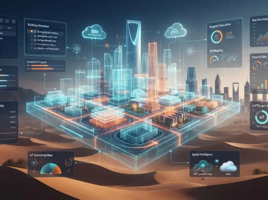
Smart cities rely on accurate, up‑to‑date spatial data. Whether upgrading utilities, planning new districts or maintaining infrastructure, engineers need precise 3D models to visualise assets and simulate scenarios. 3D scanning—using LiDAR, photogrammetry or mobile devices—provides the geometric foundation for digital twins. In Saudi Arabia, where new communities like NEOM are being built alongside revitalised cities like Riyadh, capturing existing conditions is key to informed decision‑making.
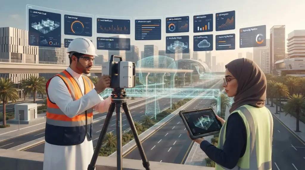
Metas offers comprehensive 3D scanning and digital twin creation services. Its team employs LiDAR scanners for high‑precision point clouds, drone‑based photogrammetry for large outdoor areas and portable devices for interior spaces. These data sets are processed into textured models and integrated into Unreal Engine digital twins. Because the company uses a unified Unreal Engine stack, scanned assets can be reused across training simulators, sales platforms and serious games, maximising return on investment.
Practical applications are numerous. Infrastructure providers can create digital twins of power plants, substations and pipelines to monitor performance and plan maintenance. Urban planners can simulate traffic flows, evaluate zoning changes or test emergency response routes using accurate city models. In NEOM, scanning existing terrain and construction progress ensures that the digital twin remains up to date, supporting design decisions and stakeholder communication. Combining scanning with AI analytics allows for predictive maintenance; sensors embedded in the digital twin identify stress points before they lead to failures.
Commissioning a scanning project starts with a site assessment to determine equipment, safety measures and coverage requirements. Metas’s team coordinates with on‑site managers to plan scanning sessions that minimise disruption. After data collection, engineers process point clouds into mesh models, align them with GIS data and convert them for use in the digital twin. Clients receive deliverables in standard formats along with a viewer or direct integration into Metas’s digital twin platform.
FAQs
What is the difference between LiDAR and photogrammetry?
LiDAR uses lasers to measure distances precisely, while photogrammetry reconstructs models from overlapping photos. Both methods can be combined for optimal results.
How often should digital twins be updated?
Frequency depends on the asset. Critical infrastructure may require continuous or quarterly updates, while city models could be refreshed annually or after major changes.
Can I use the scanned data in other software?
Yes. Deliverables are provided in industry‑standard formats compatible with BIM, GIS and simulation tools.
Call to Action
Need accurate 3D data for your smart city or infrastructure project? Contact Metas-> to plan a scanning campaign and discover how a digital twin can support your decision‑making.